
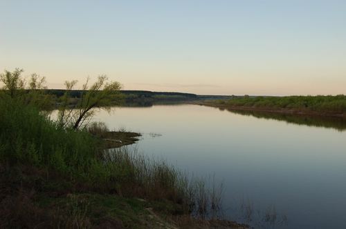
What links to “Sura River”
18 articles of the encyclopedia cite this article. Next to each — the phrase the link sits in.
- Bykovka… plans. They wanted to ship the brick rubble out on special barges, but this failed: the barges sank in the Sura River. Judging by the foundations, the main house was surrounded by several more buildings.
- Cheboksary Hydroelectric Power Plant… lose its river section entirely. The backwater would extend 83 kilometers up the Oka, 90 kilometers up the Sura, and 123 kilometers up the Vetluga River, and siltation would intensify within the backwater zones [2].
- Erzyan Mastor… the trade routes running from the south, east, and northeast along the rivers Rav (Volga), Oka, Tsna, and Sura, which flowed through its territory. The Don River connected the Land of the Erzya with the southwest.
- Floating Cities… Region for a floating city is a part of Vorotynsky District falling within the waters of the Volga and the Sura River, from Shyolkovy Zaton (near the village of Velikovskoye) to the village of Mikhaylovskoye
- Imza RiverThe Imza River is a left tributary of the Urga; it belongs to the Pourzhe and to the basin of the Sura River.
- Isaac Levitan and the Nizhny Novgorod Region… Volga for the first time and spent nearly two months in Vasilsursk, a small town at the confluence of the Sura River and the Volga [1] [2]. From there he brought back dozens of studies; it was here that the ideas for …
- Pilninskiy District… District, Spassky District, Vorotynsky District, Sechenovskiy District, and Chuvashia along the Sura River.
- PopyaneIt drains into the basin of the Sura River, and in the Nizhny Novgorod Region borders Pourzhe.
- Raising the Cheboksary Reservoir Level… 350,000 hectares. [5] [6] The backwater would have extended 83 kilometres up the Oka, 90 kilometres up the Sura, and 123 kilometres up the Vetluga. [4] [5] In the low-lying Zarechka part of Nizhny Novgorod, groundwater …
- Shava River… from the mouth of the Oka to the Cheboksary hydroelectric complex (Cheboksary Reservoir), excluding the Sura River and Vetluga rivers; the river's sub-basin is the Volga from the confluence with the Oka to the Kuibyshev …
- Suprotivny Spring… settlement of Vasilsursk, Vorotynsky District, Nizhny Novgorod Region, above the confluence of the Sura and the Volga. The Hill Mari venerate it as one of their principal sacred sites, associated with the …
- The Fadeev Mountains… the upland part of the forest-steppe Right Bank along the banks of the Volga from Kstovo to the mouth of the Sura River.
- The Gremyachka River
- The Silver Ring of the Vorotynsky LandThe region is divided by the Volga and the Sura River into three parts, and the route's sites are spread across its entire area — from Vasilsursk in the east to …
- Urga RiverThe Urga and the Pyana River on a map of the Sura River basin
- Vadok… along the left bank; the catchment area is 668 square kilometers. The river belongs to the basin of the Sura River, into which the Pyana flows [1].
- Vasilsursk… (colloquially — Vasil) — a working settlement in Vorotynsky District at the confluence of the Volga and the Sura River. The settlement has a population of 2,000.
- Volga UplandSura River, Peremilovskiye Hills