
Home → Tours → Five Centuries Where the Oka Meets the Volga → Route
The route of “Five Centuries Where the Oka Meets the Volga”: ten stops
Every stop of the route with its story, old photographs and links to articles: the kremlin of 1500, the Stroganov church, the Makaryev and Nizhny Novgorod fairs, the Dmitrievskaya Tower, the State Bank, the Kanavinsky bridge, the Chkalov staircase, the cable car and the Strelka. You can watch the whole tour or open it at any stop: each one has its own permanent address.
Start the tour from the beginning
1500 — The Nizhny Novgorod Kremlin
1500–1515
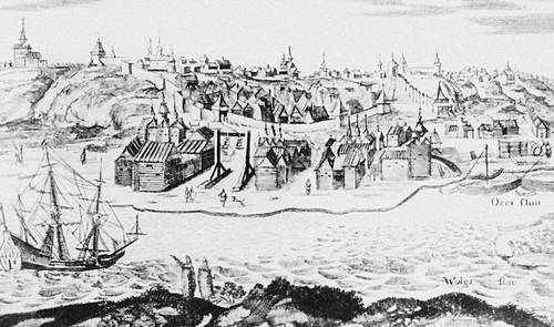
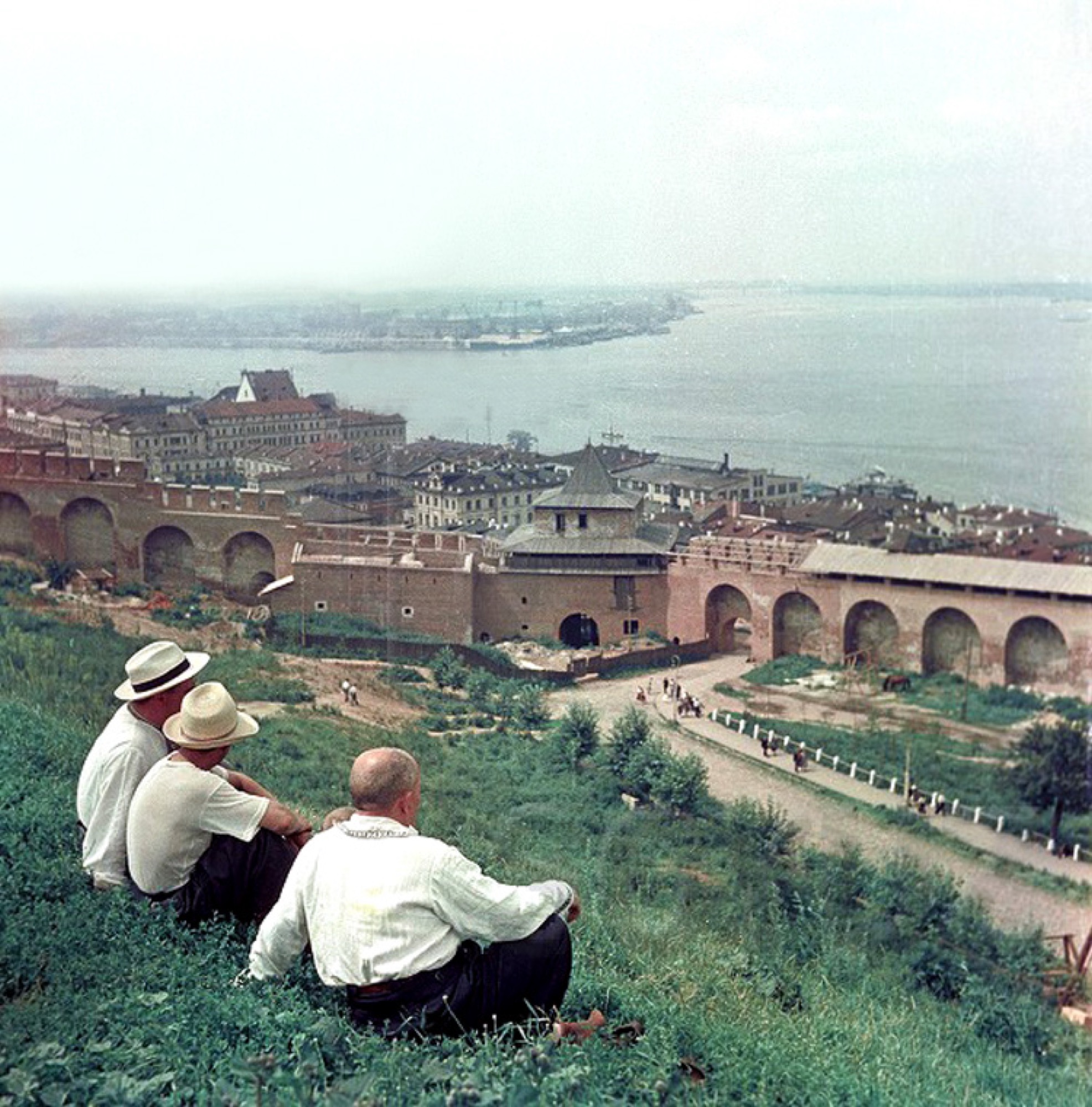
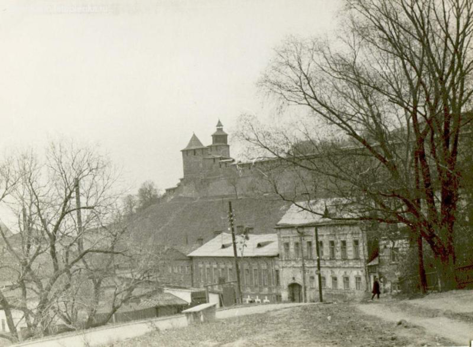
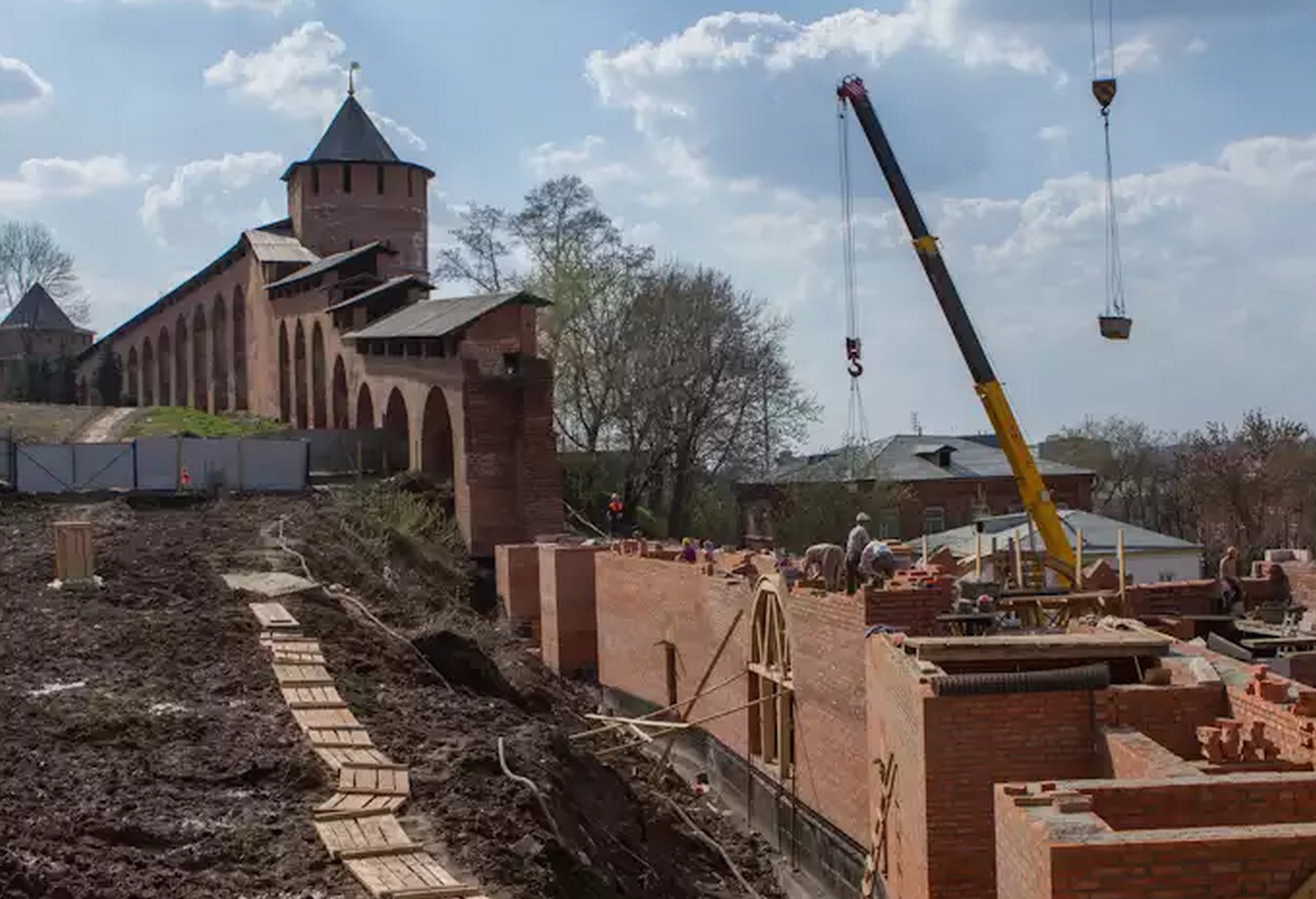
The stone fortress was raised between 1500 and 1515 on the high bank where the Oka meets the Volga. Thirteen towers, about two kilometres of wall — and in five centuries it was never taken by storm.
In the tour the camera comes out at 56.3280, 44.0035 and turns 14° while the story is told, and then flies in close to the three-dimensional model of the tower.
More in the encyclopedia: Nizhny Novgorod Kremlin
Start the tour at this stop Permanent address: www.nnov.ec/en/tour/five-centuries/stop/kremlin
1719 — The Stroganov Church
begun in 1697, consecrated in 1719
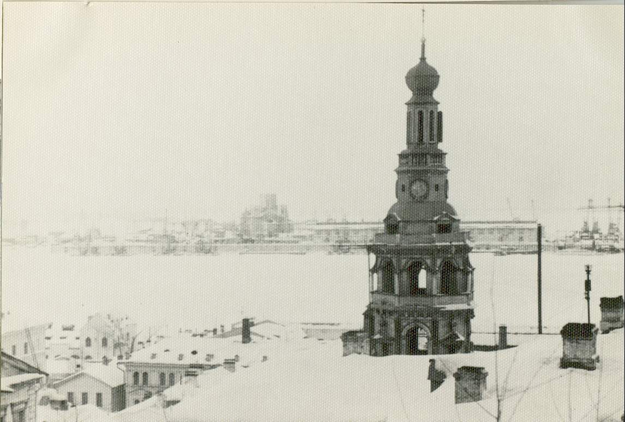
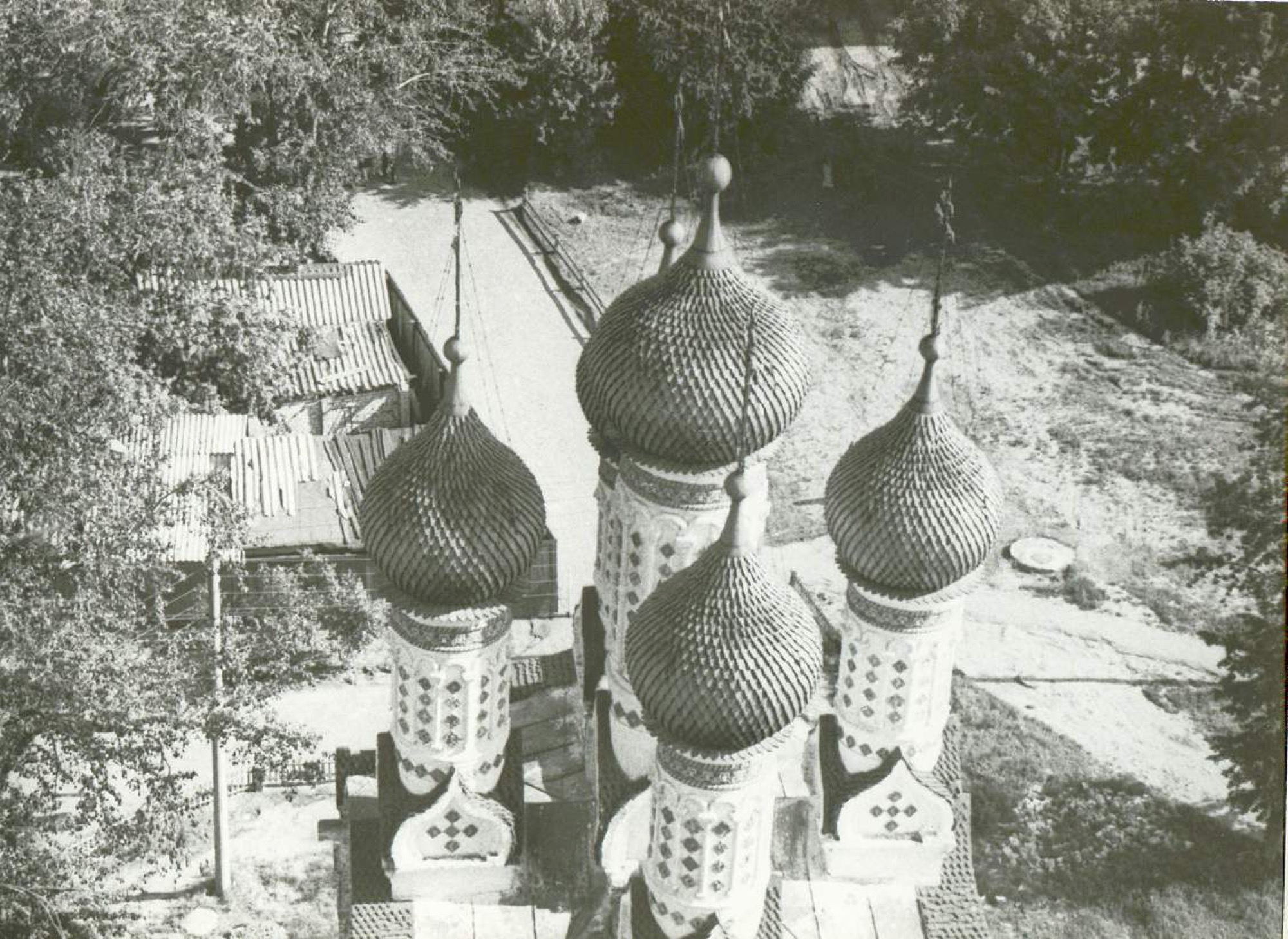
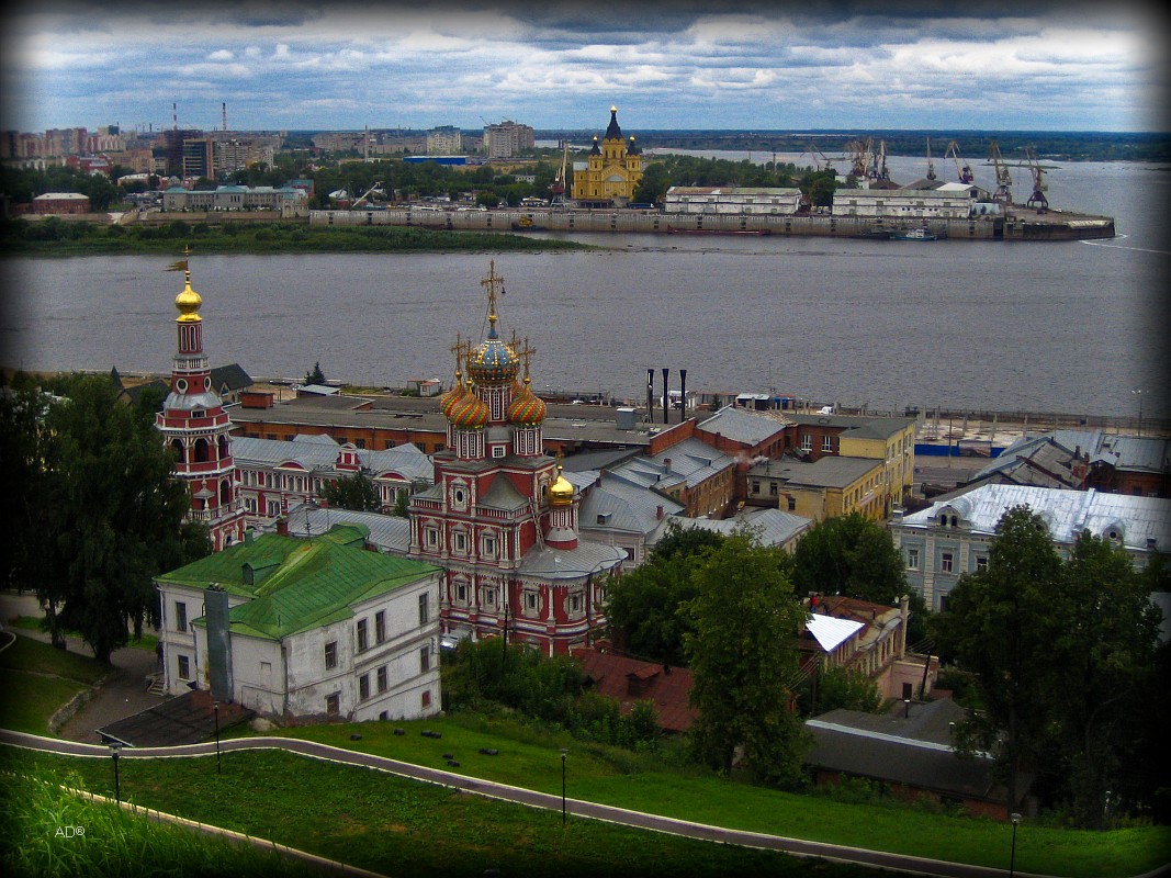
The Church of the Nativity of the Virgin on Rozhdestvenskaya Street was begun by the salt magnate Grigory Stroganov and consecrated only in 1719. Its manner gave art history a name of its own — Stroganov baroque. Tradition has it that Peter the Great saw the features of the patron in the face of the Saviour on the iconostasis, and in 1722 the church was closed.
In the tour the camera comes out at 56.3272, 43.9850 and turns 12° while the story is told.
More in the encyclopedia: Rozhdestvenskaya (Stroganov) Church
Start the tour at this stop Permanent address: www.nnov.ec/en/tour/five-centuries/stop/stroganov
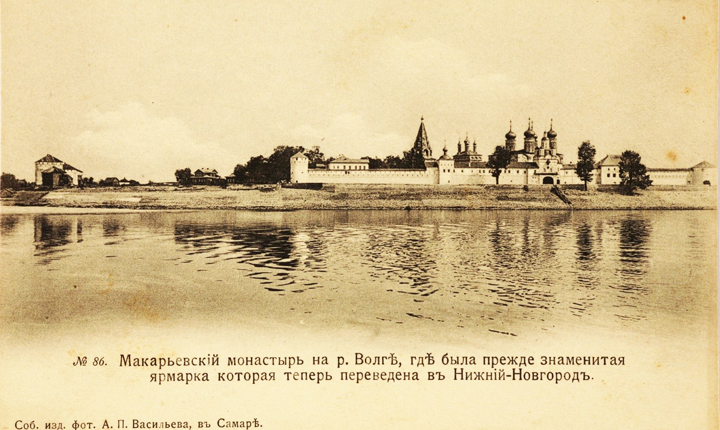
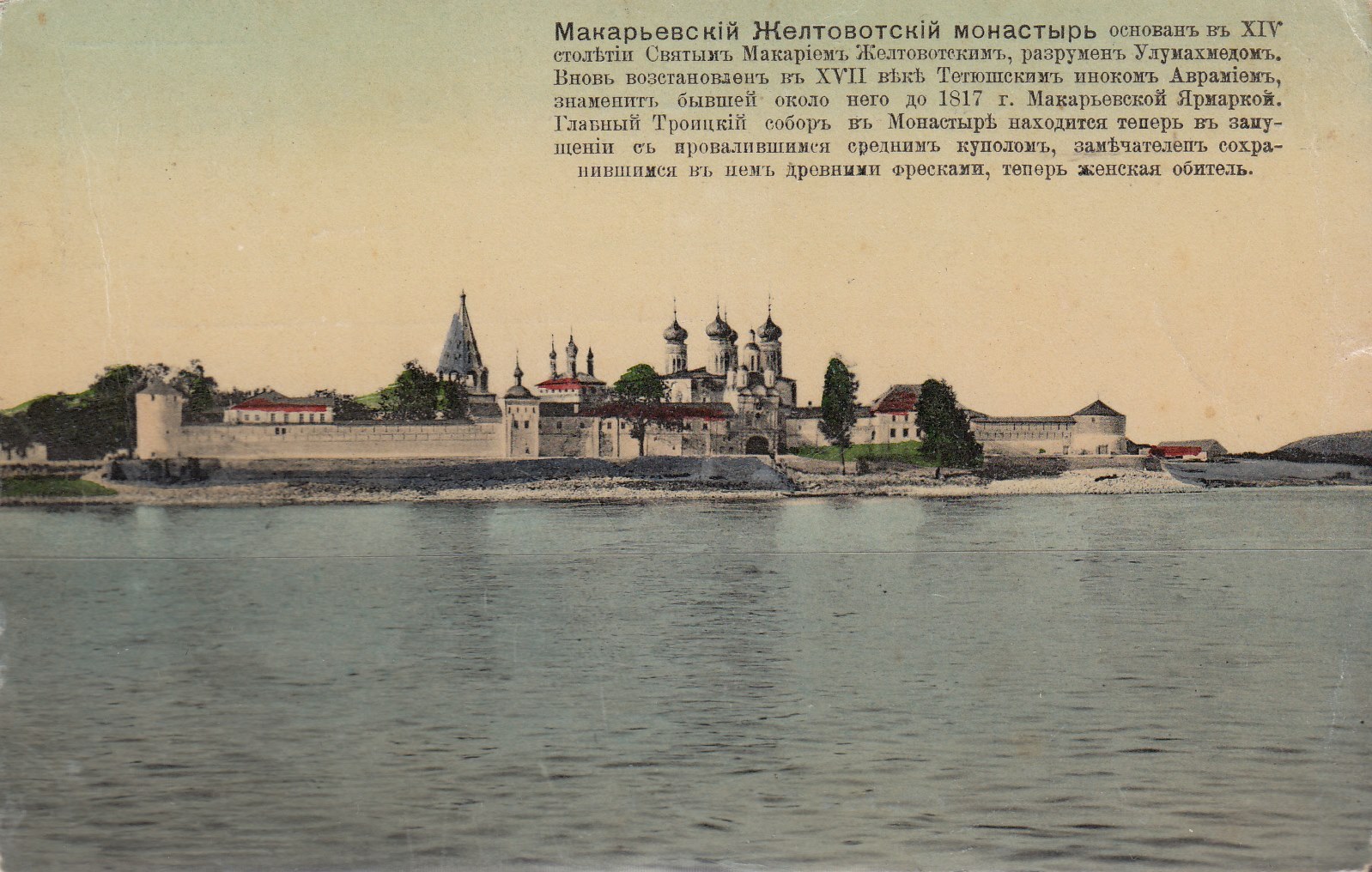
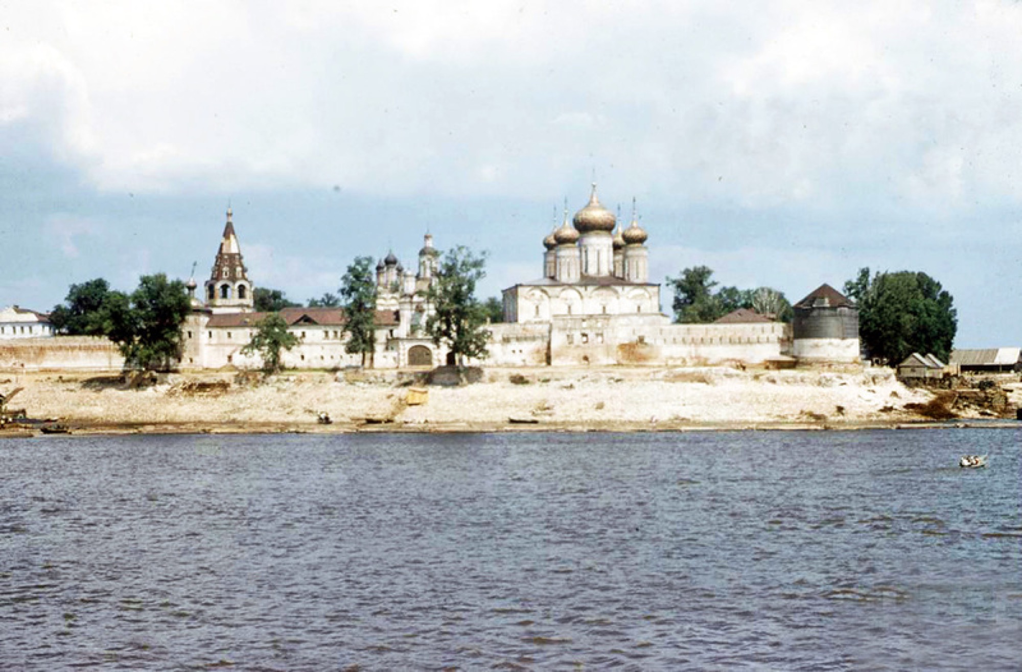
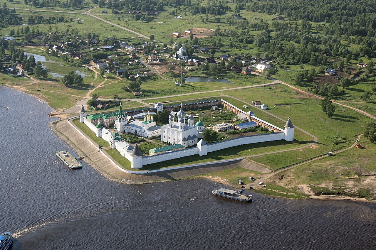
1816 — The Makaryev Fair
the fair by the monastery dates from 1641
From 1641 the largest market in Russia gathered at the walls of the Makaryev monastery, downstream on the Volga opposite Lyskovo. In August 1816 fire destroyed all 29 buildings with their three hundred shops — and the fair was moved to Nizhny Novgorod.
In the tour the camera comes out at 56.0834, 45.0643 and turns 12° while the story is told.
More in the encyclopedia: Makaryev Fair
Start the tour at this stop Permanent address: www.nnov.ec/en/tour/five-centuries/stop/makaryev
1822 — The Nizhny Novgorod Fair
the market traded until 1929
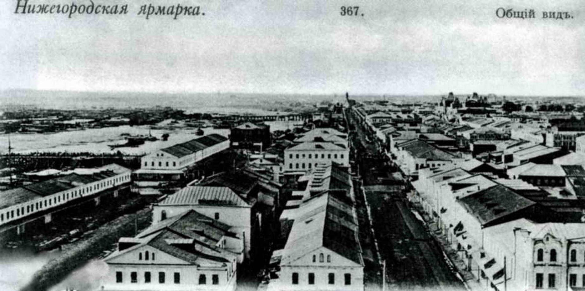
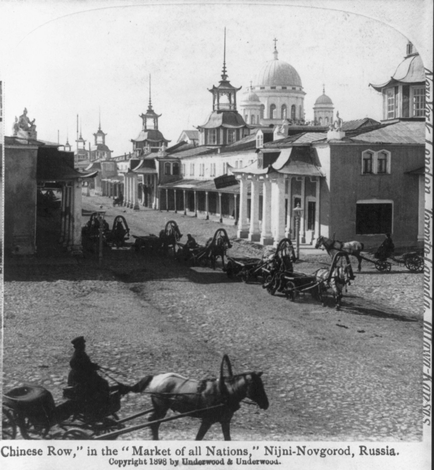
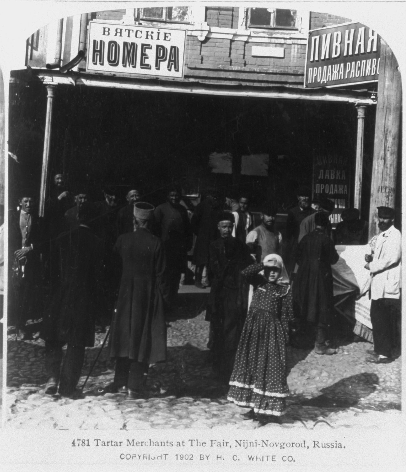
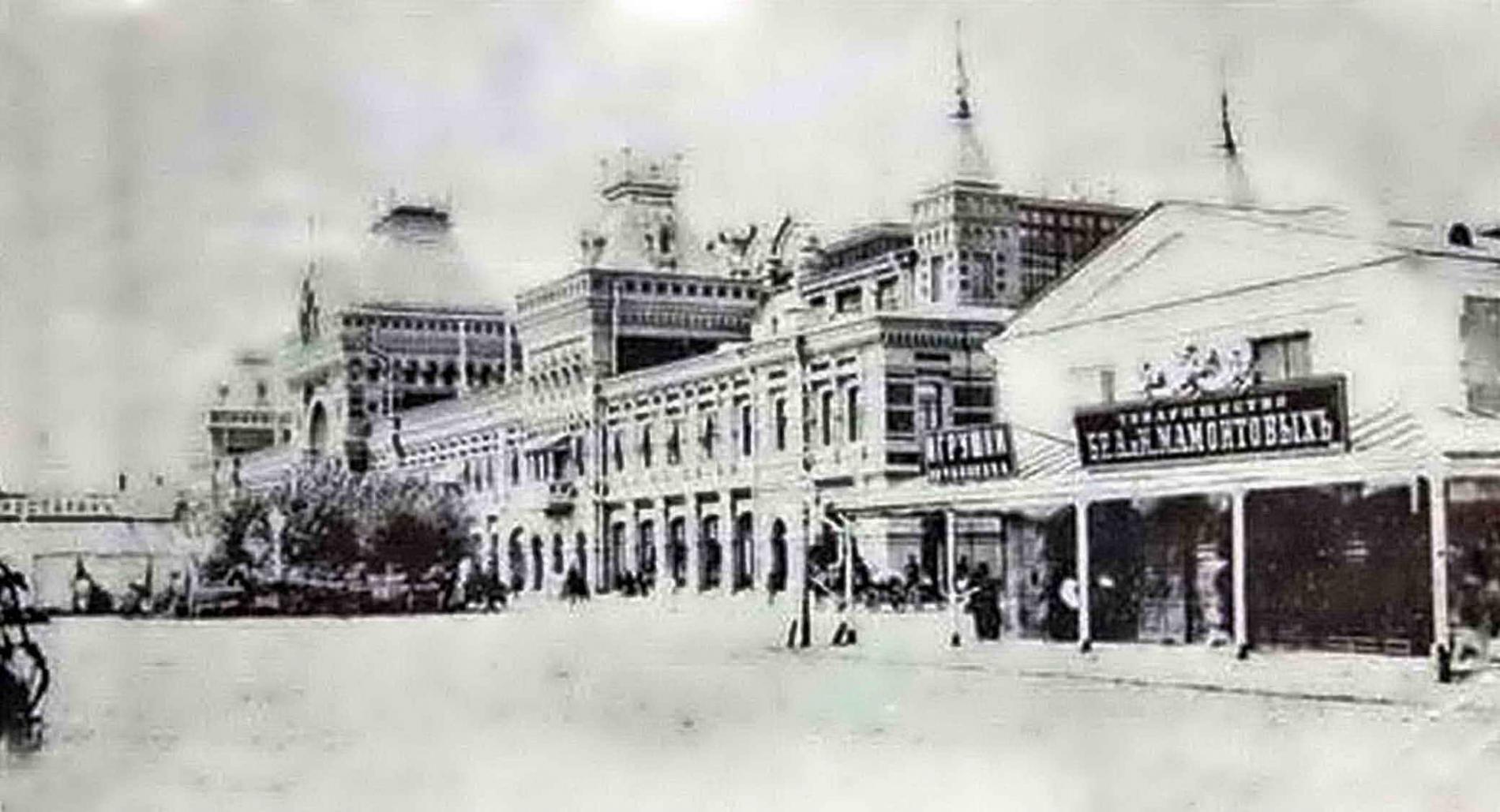
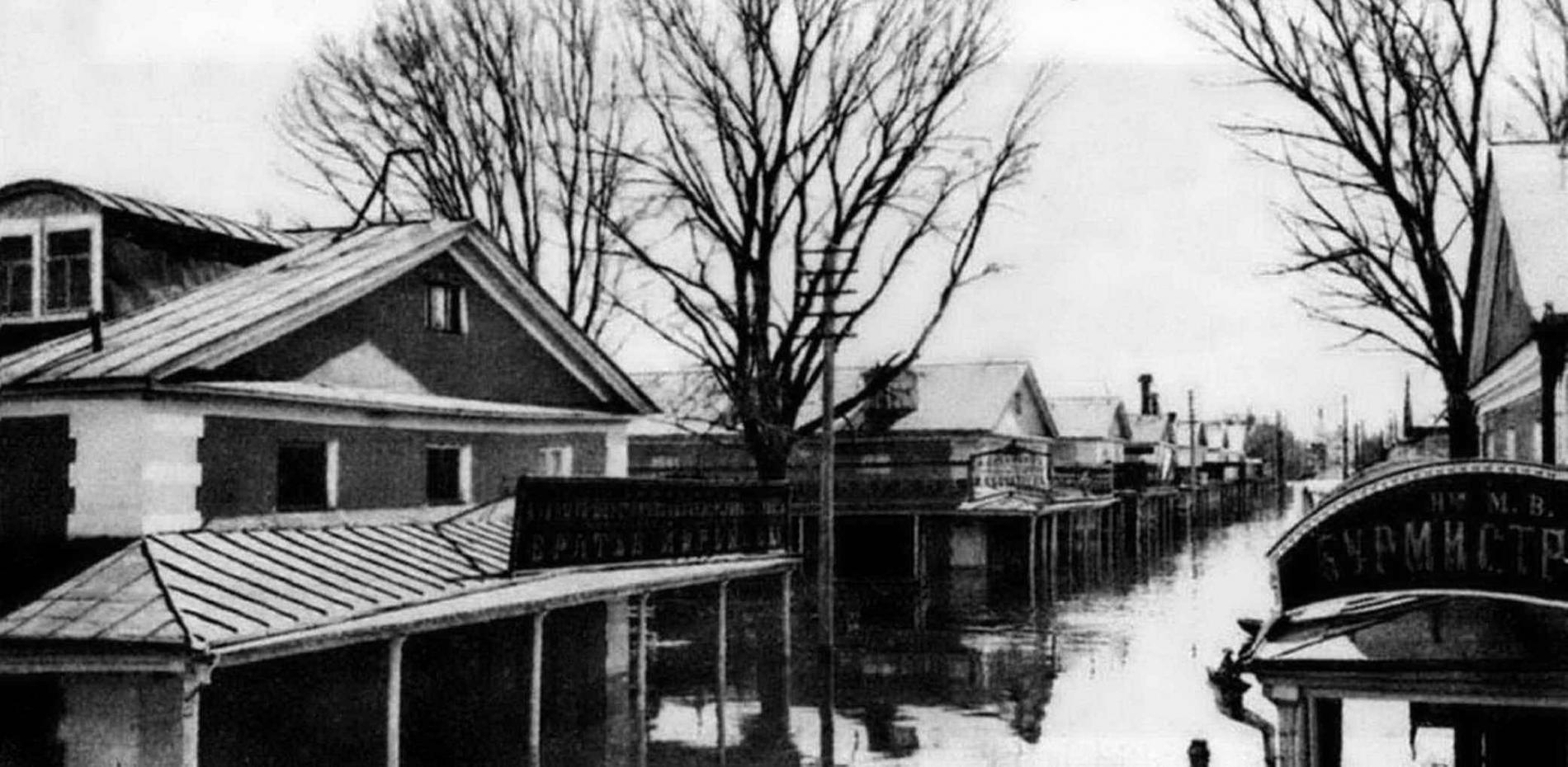
The new market was laid out on the low sandy cape opposite the city to a design by Augustin de Betancourt, and on 15 July 1822 it opened in its new buildings. Until 1929 the largest annual market of the empire traded here — “the pocket of Russia”. The Main Fair House you see was built in 1890.
In the tour the camera comes out at 56.3298, 43.9585 and turns 14° while the story is told.
More in the encyclopedia: Nizhny Novgorod Fair · From the Strelka to the Fair
Start the tour at this stop Permanent address: www.nnov.ec/en/tour/five-centuries/stop/fair
1896 — The Dmitrievskaya Tower
the All-Russian Exhibition, 28 May – 1 October
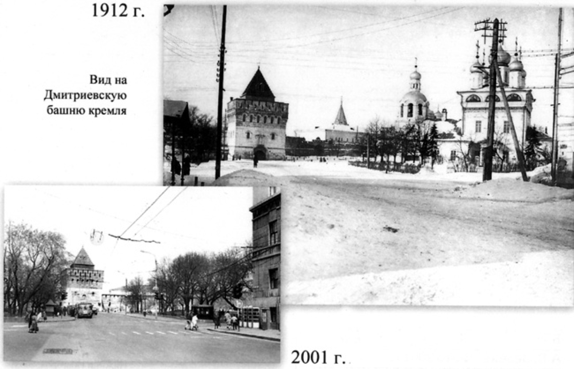
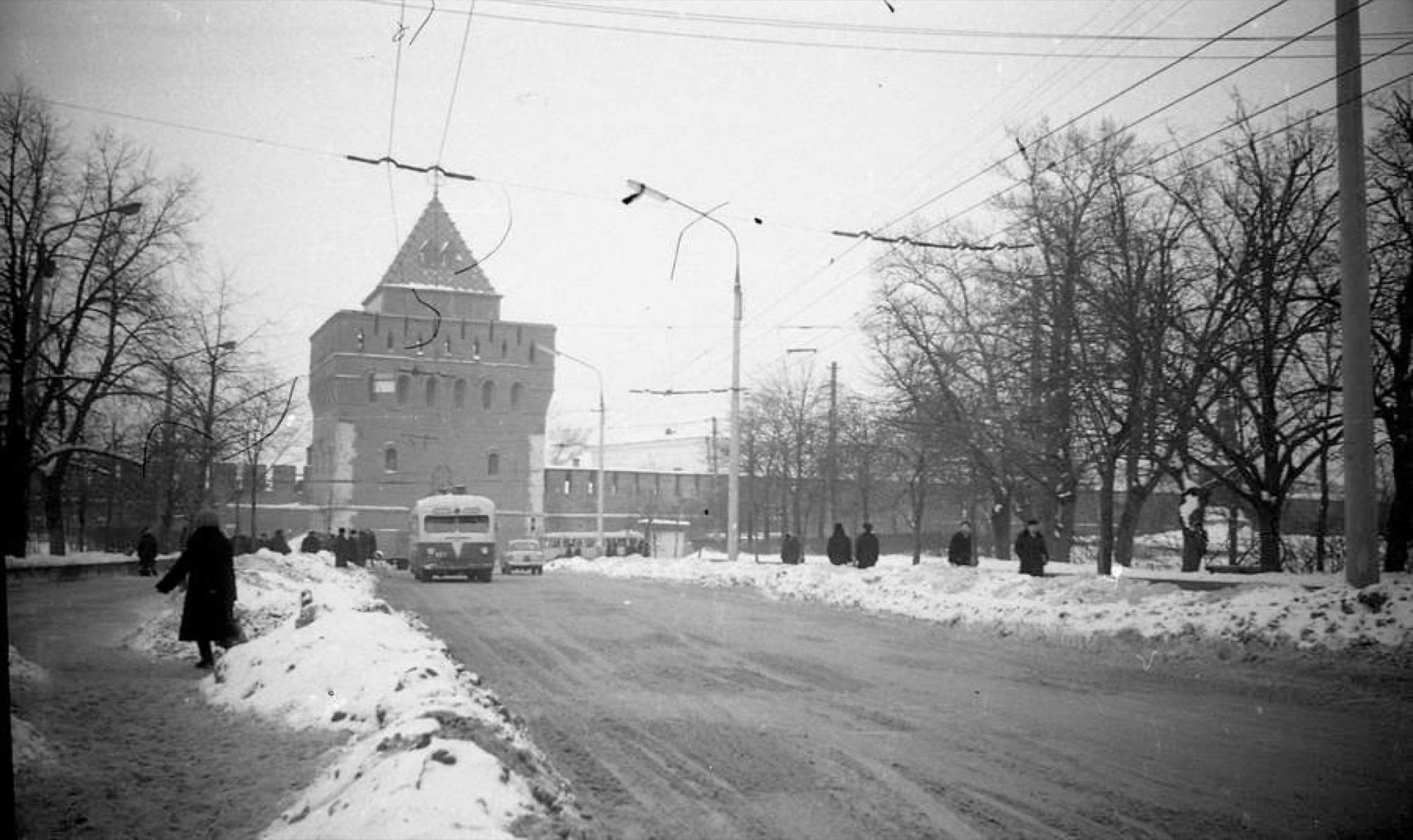
The All-Russian Exhibition of 1896 was the first to be held outside the capital: in 125 days about a million people came to Nizhny. For the opening the architect Nikolai Sultanov rebuilt the main gate tower of the kremlin — an iron tent roof with a glass globe appeared on top, and on 25 June an art museum opened inside it.
In the tour the camera comes out at 56.3271, 44.0057 and turns 30° while the story is told.

More in the encyclopedia: Dmitrievskaya Tower · All-Russian Exhibition of 1896
Start the tour at this stop Permanent address: www.nnov.ec/en/tour/five-centuries/stop/dmitrievskaya
1913 — The State Bank Building
built between 1911 and 1913
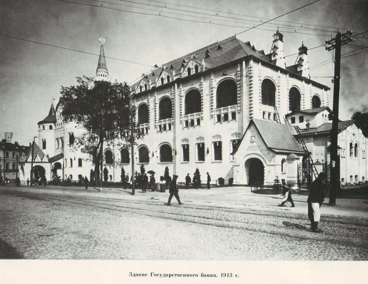
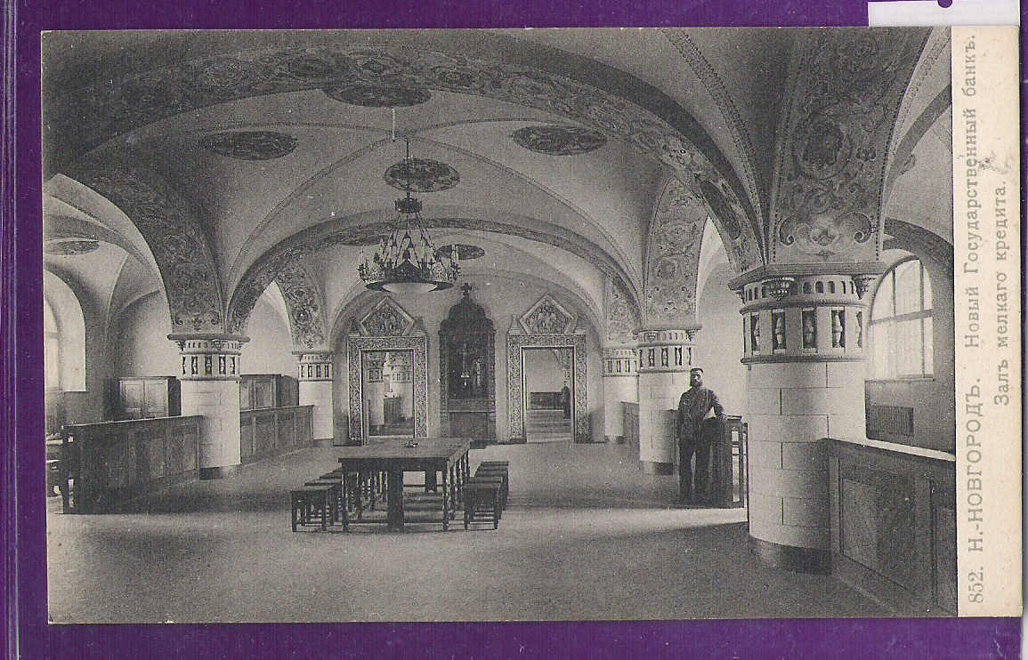
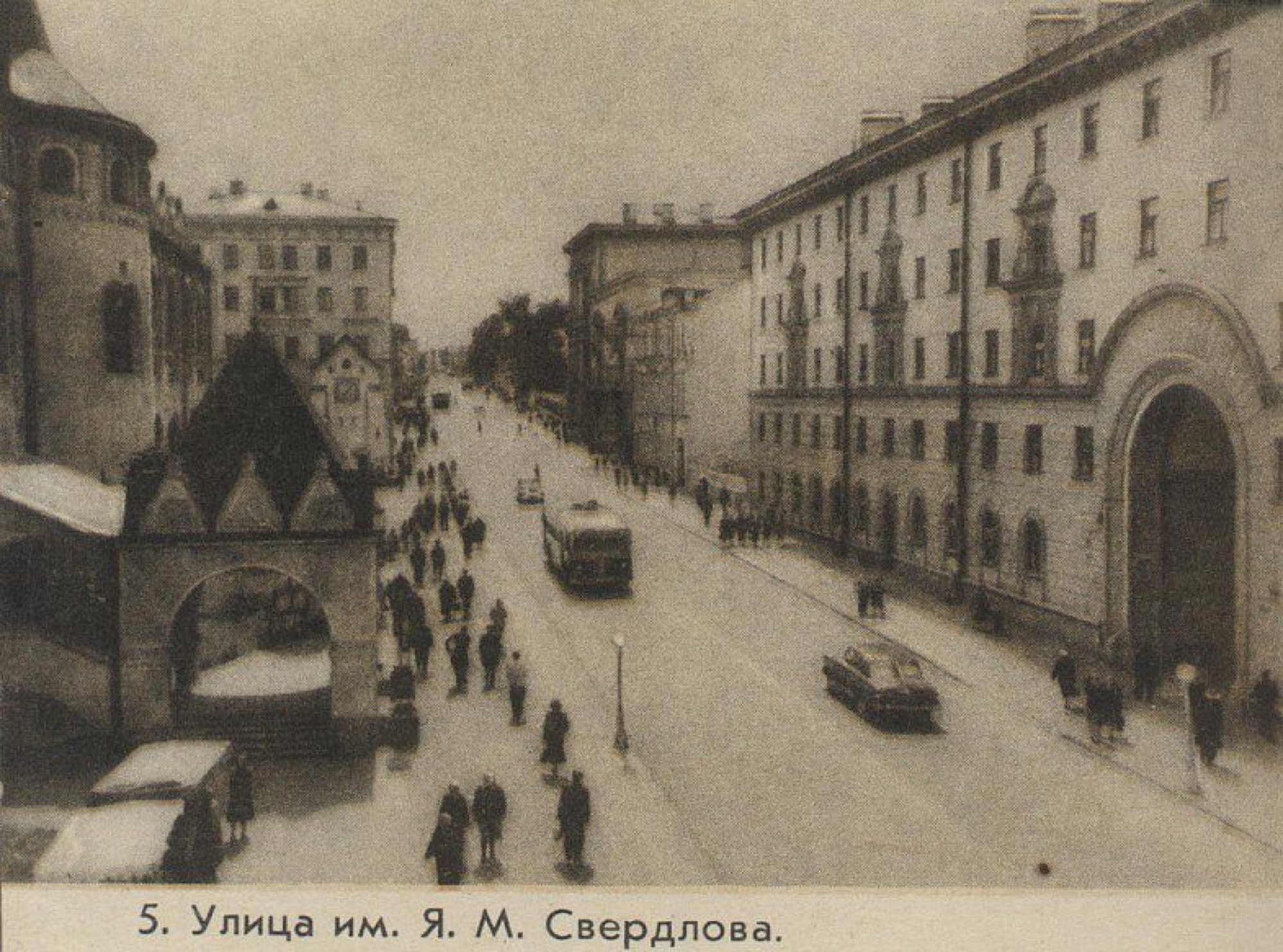
Built to a design by Vladimir Pokrovsky for the three hundredth anniversary of the Romanov dynasty — a medieval castle and an old Russian hall at once. In 1918 more than half of the gold reserve of the country was kept here. Bolshaya Pokrovskaya itself was aimed straight at the Dmitrievskaya Tower by the city plan of 1770, and the camera looks along that axis.
In the tour the camera comes out at 56.3212, 43.9998 and turns 6° while the story is told.

More in the encyclopedia: The State Bank Building · Bolshaya Pokrovskaya: two centuries of the main street
Start the tour at this stop Permanent address: www.nnov.ec/en/tour/five-centuries/stop/gosbank
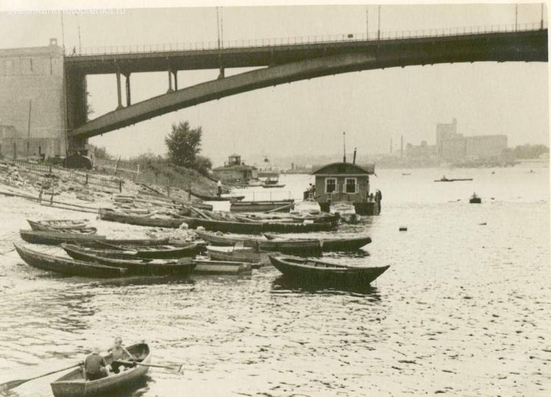
1935 — The Kanavinsky Bridge
built between 1930 and 1935
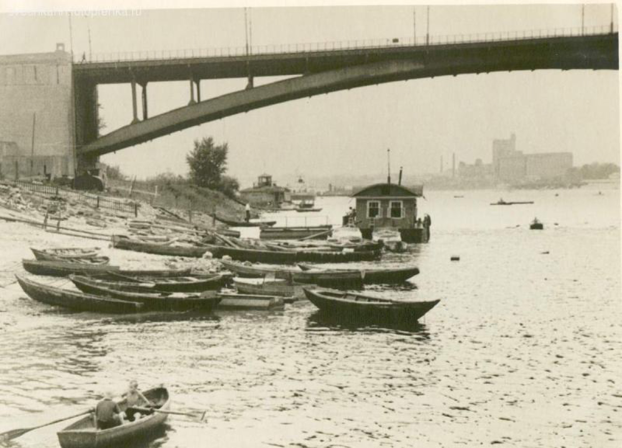
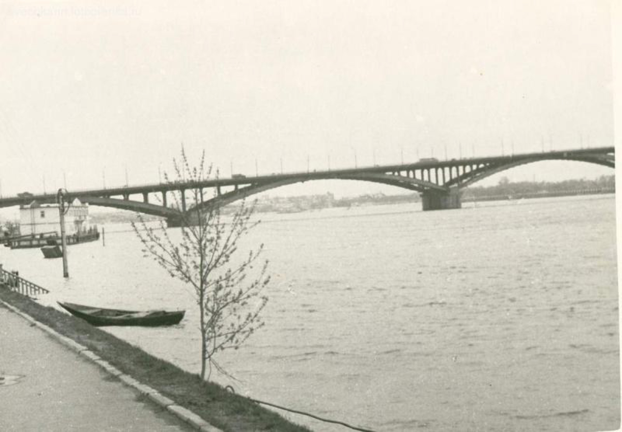
The first permanent bridge across the Oka within the city. Before it people crossed on a pontoon bridge, and in winter and in the spring flood the fair bank was cut off from the upper town.
In the tour the camera comes out at 56.3267, 43.9753 and turns 12° while the story is told.
More in the encyclopedia: Kanavinsky Bridge
Start the tour at this stop Permanent address: www.nnov.ec/en/tour/five-centuries/stop/bridge
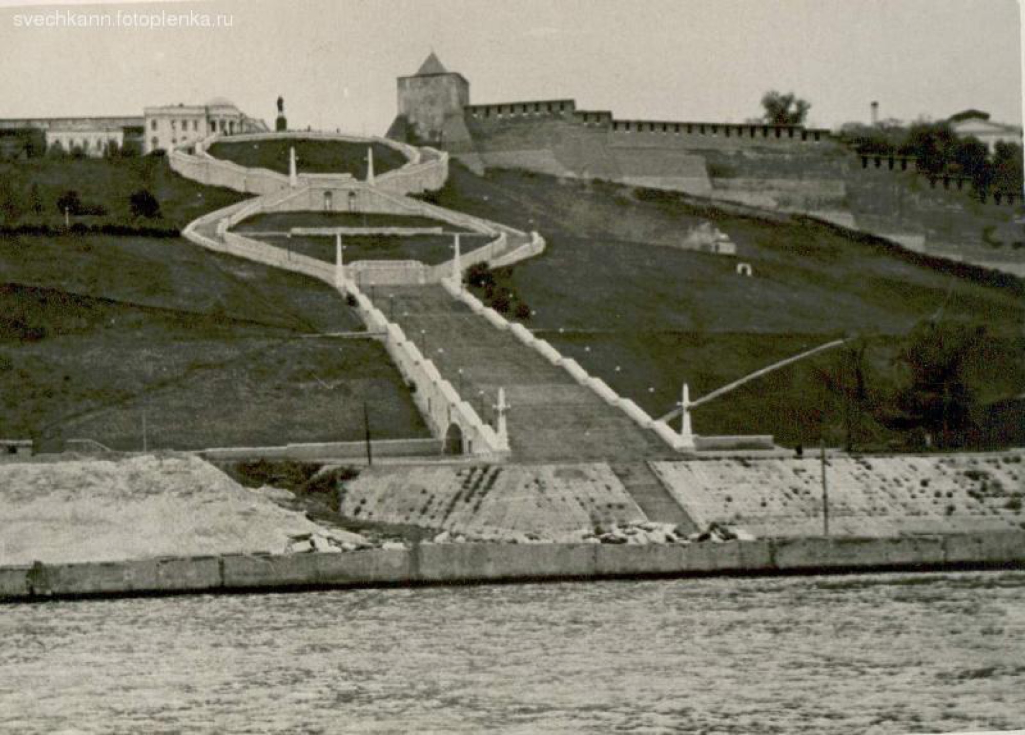
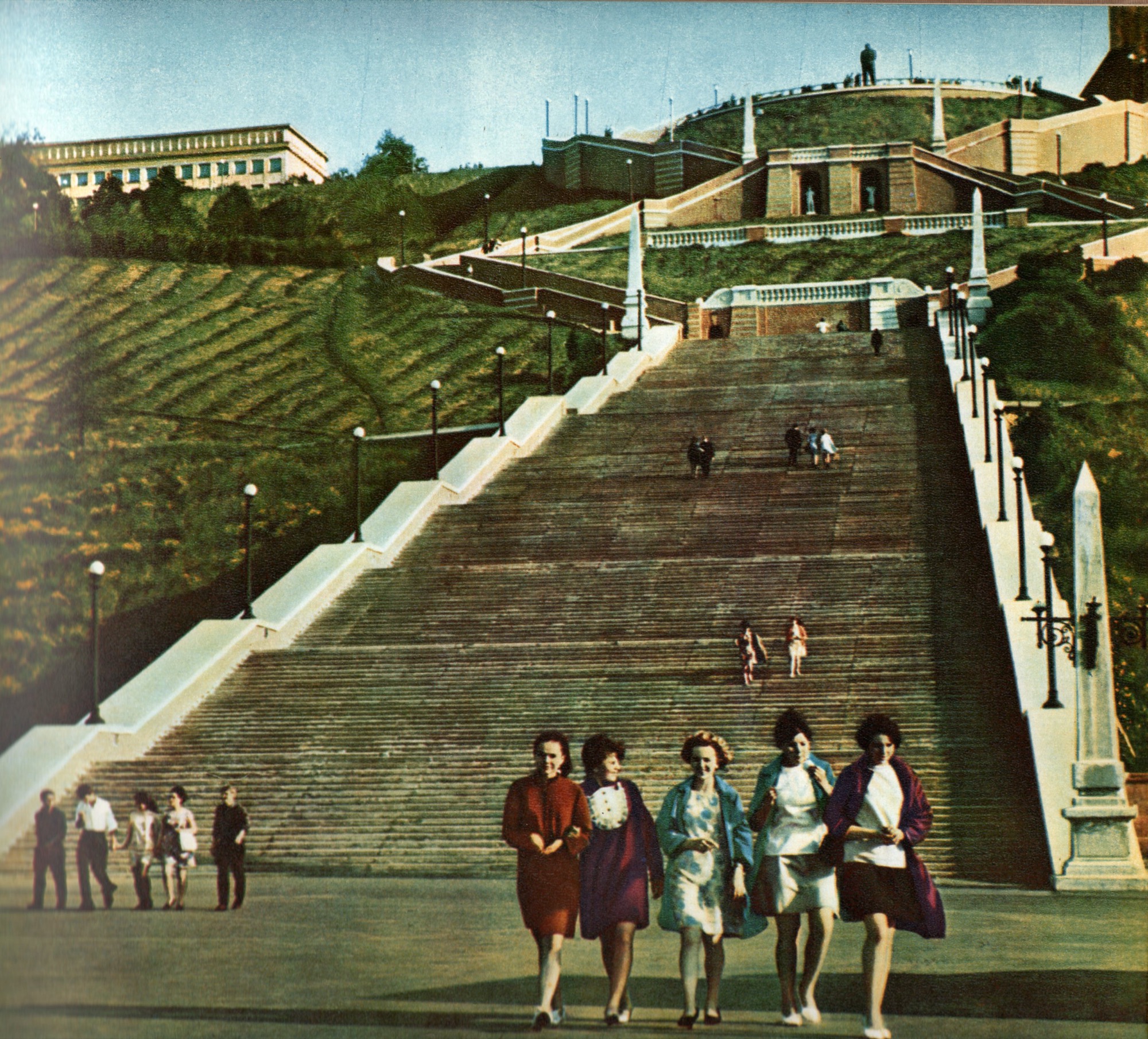
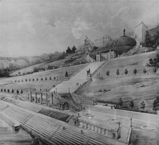
1949 — The Chkalov Staircase
begun in 1943
The staircase was begun in 1943 in honour of the victory at Stalingrad and finished in 1949: with two huge rings shaped like a figure eight it tied the upper town to the Lower Volga embankment. After restoration it opened again on 1 August 2021 — the same date in the calendar.
In the tour the camera comes out at 56.3302, 44.0094 and turns 10° while the story is told.
More in the encyclopedia: The Chkalov Staircase
Start the tour at this stop Permanent address: www.nnov.ec/en/tour/five-centuries/stop/chkalov
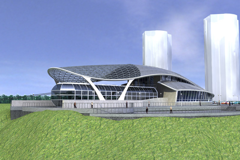
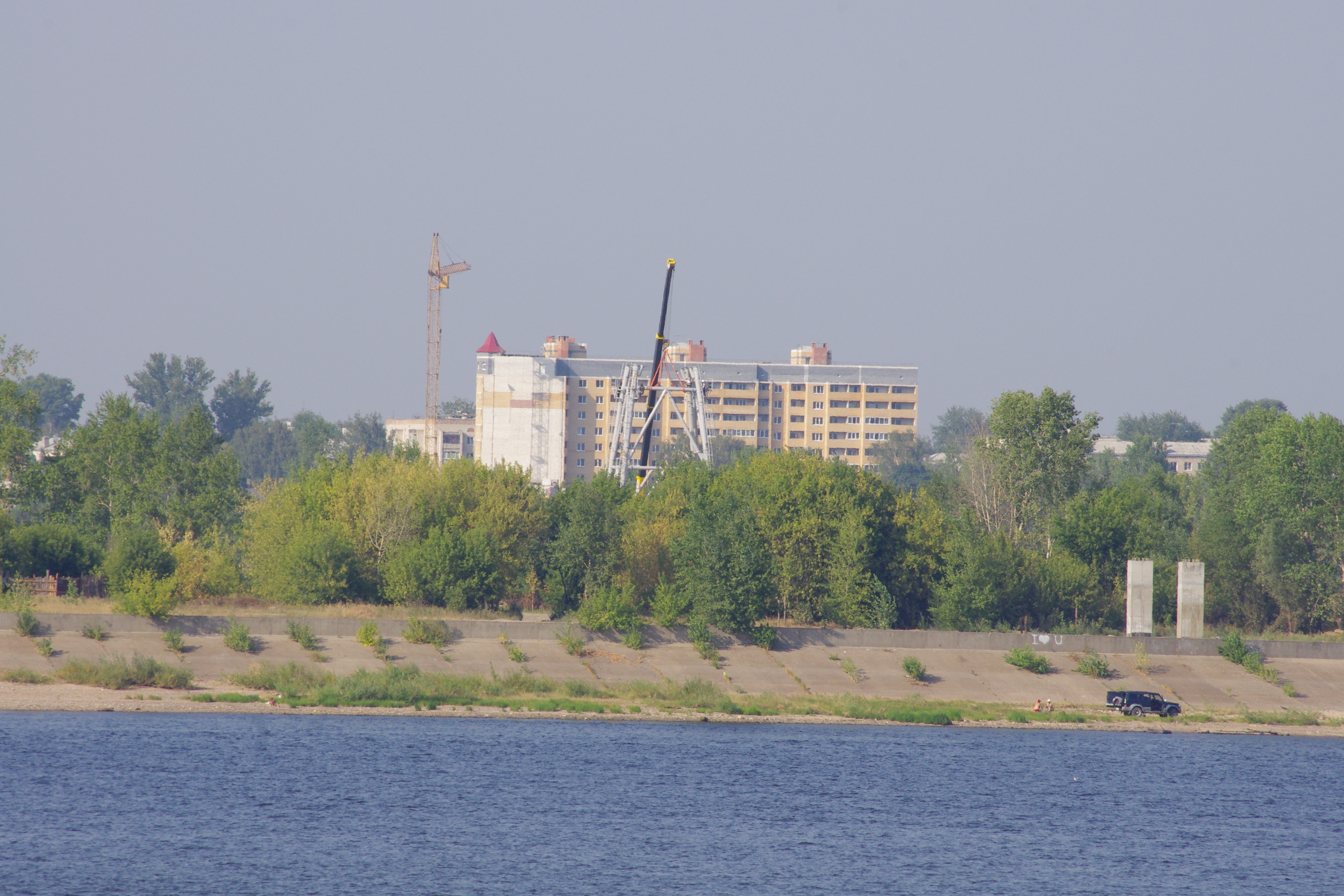
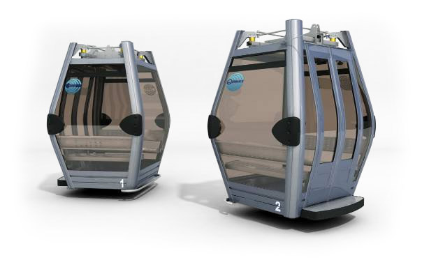
2012 — The Cable Car to Bor
opened on 9 February 2012
The first cable car in Russia to join two cities across a navigable river. The centres of Nizhny Novgorod and Bor lie about three kilometres apart in a straight line; by road it is some twenty-seven.
In the tour the camera comes out at 56.3391, 44.0503 and turns 8° while the story is told.
More in the encyclopedia: Nizhny Novgorod Cable Car
Start the tour at this stop Permanent address: www.nnov.ec/en/tour/five-centuries/stop/cable
today — The Strelka
the cape where the Oka joins the Volga
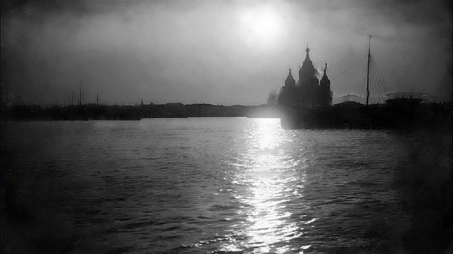
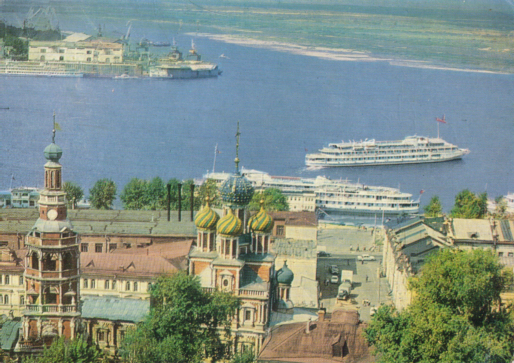
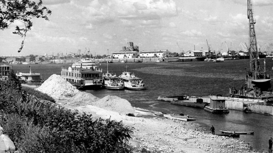
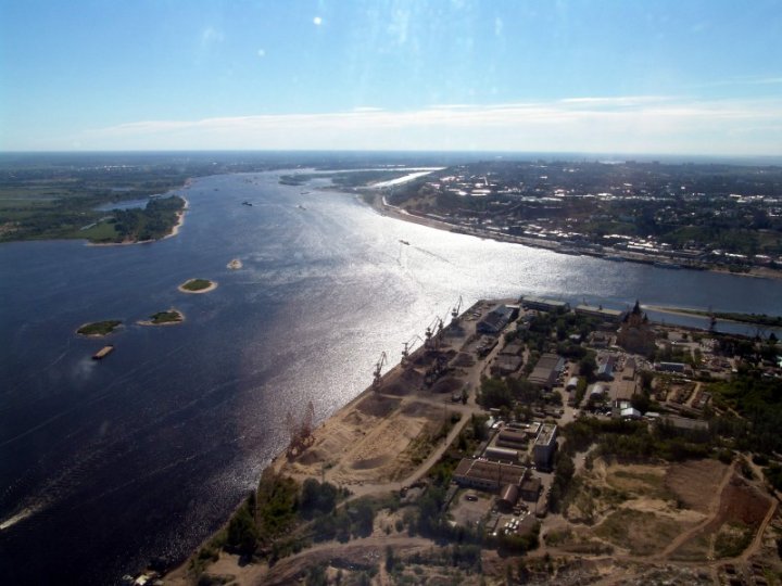
The triangular cape where the Oka falls into the Volga, once the land of the Kunavino settlement. From here the whole route is in sight: the kremlin and the staircase on the hill, the fair beyond the Oka, the bridge and the cable car above the river.
In the tour the camera comes out at 56.3350, 43.9730 and turns 45° while the story is told.
More in the encyclopedia: Strelka · From the Strelka to the Fair
Start the tour at this stop Permanent address: www.nnov.ec/en/tour/five-centuries/stop/strelka
The route is put together from articles of the Encyclopedia of Nizhny Novgorod. Other routes are on the tours page.